
Wingerworth book – details about our new publication
Our new book on Wingerworth was launched on Friday 1 March. Find out more about the book, its launch and how to obtain it in this post.
The launch
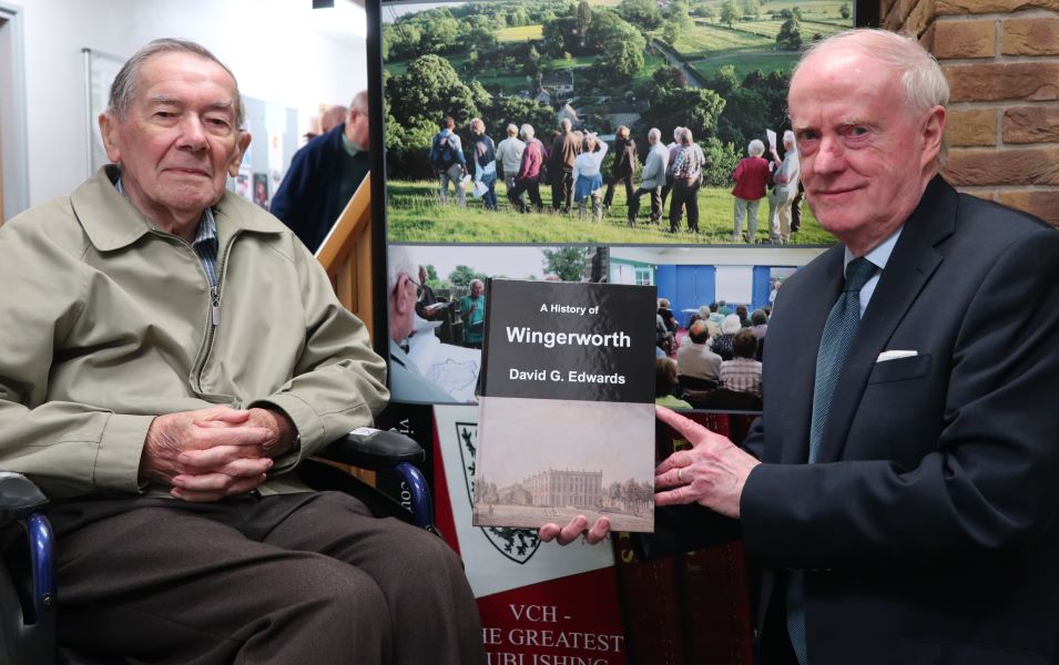
Our latest Victoria County History (VCH) ‘spin-off’ book – ‘A History of Wingerworth’ by David Edwards – was launched at Wingerworth Parish Church on Friday 1 March 2024. There was a free talk by our county editor Philip Riden, in the church, followed by refreshments and book sales in the adjacent Church Centre.
The book
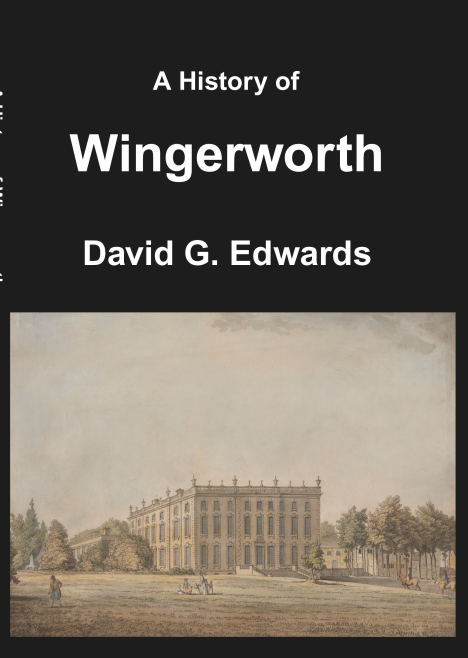
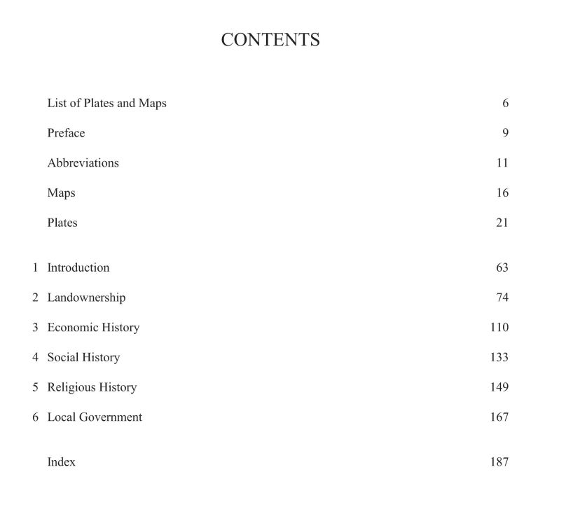
The book is the third produced by the Derbyshire Victoria County History Trust in a series of interim studies of Chesterfield and its adjoining communities. It is by far the most detailed account of Wingerworth yet published. The author – David Edwards – has been a resident of the parish since the 1960s and has long taken a keen scholarly interest in its history. Of just over 200 pages, in A4 hard-back format, it is fully indexed, with copious references and over 40 illustrations and maps. It retails at £20. The book should appeal to both local residents and anyone with a serious interest in Derbyshire history.
How to obtain the book
It is available at Waterstones in Chesterfield and by on-line ordering from the Trust at this link – Derbyshire VCH Trust (google.com) (opens in a new window).
Wingerworth
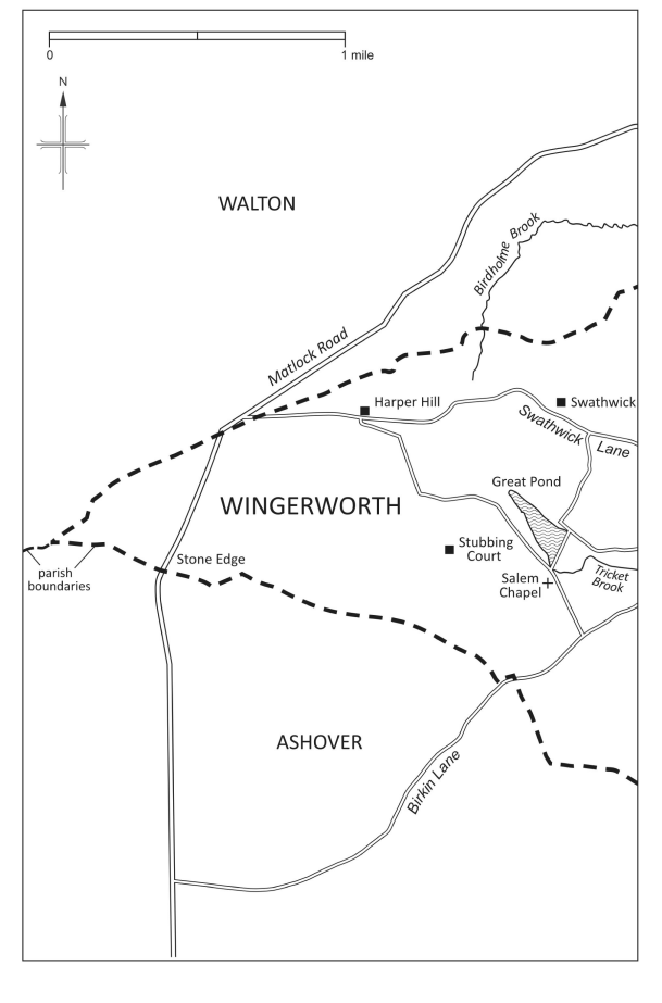
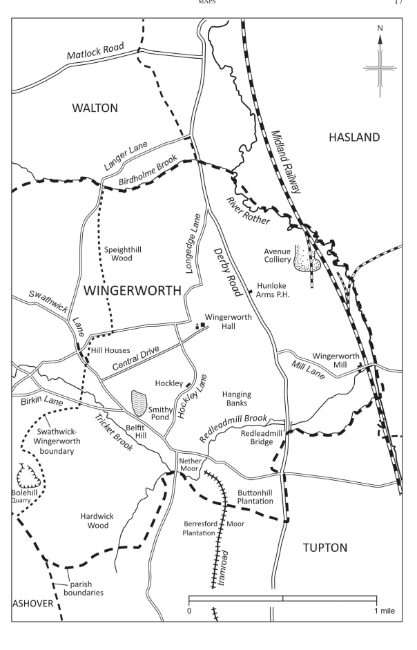
Until modern changes Wingerworth was a township and chapelry forming the southernmost part of the ancient parish of Chesterfield, extending from the River Rother in the east to the edge of East Moors at Stone Edge in the west, and from Birdholme Brook in the north to Tricket Brook in the south. It was a thinly populated area, in which most of the land belonged to either the Hunloke family of Wingerworth Hall or the succession of families which owned Stubbing Court in the west of the township.
Although mainly a farming community, Wingerworth also has a long history of small-scale ironsmelting, coalmining and stone quarrying. In 1920 the Hunloke estate was broken up by sale. The Hall (pictured on the book’s cover) was demolished a few years later and some new housing was built.
After the Second World War Wingerworth saw very extensive residential development, which transformed both the landscape and the community. In addition, in the 1950s one of Europe’s largest coke-making plants was built alongside the railway at the eastern edge of the parish, which closed at the turn of the century and the site cleared and remediated.
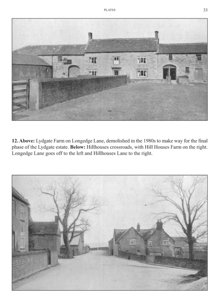
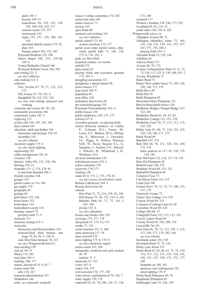
Sample pages from the book
Of the other two ‘spin-off’ books we have published our book on Hasland is out of print, but ‘Chesterfield Streets and Houses’ remains available. Please see our publications page for further details.
This post was last edited on 2 March 2024 when it was updated following the book’s launch.
Wingerworth book – details about our new publication Read More »